Throwing Caution to the Wind for the Sake of Science
UCAR | CPAESS is extremely proud to say it has a crack team who constantly work to preserve life and keep people safe from the many dangers of hurricanes. These include our extensive hands-on staff at the National Hurricane Center’s Storm Surge Unit, and our many environmental modelers in various NOAA labs who strive to continually increase hurricane prediction accuracy. One of our scientists working at the NOAA National Environmental Satellite, Data, and Informational Service (NESDIS) performs a wholly unique role. CPAESS Project Scientist Zorana Jelenak does what few people on earth do - she literally flies into hurricanes.
Why on earth would someone do this you ask? The short answer is to improve forecasting to protect human lives and property, but it is much more complicated than that.
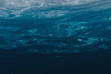
Zorana has been working for UCAR | CPAESS since she completed her Ph.D. program in New Zealand. She works with the Ocean Surface Winds Team (OSWT) of the Center for Satellite Application and Research (STAR), NESDIS | NOAA. This team uses satellite data to provide critical information to improve coastal preparedness for storms such as ocean surface vector wind measurements. “Ocean surface vector winds (OSVW) are crucial pieces of information needed to understand and predict the short-term and longer-term processes that drive our planet's environment. As the largest source of momentum for the ocean surface, winds affect the full range of ocean movement, from individual surface waves to complete current systems. Winds along the ocean surface regulate interaction between the atmosphere and the ocean via modulation of air-sea exchanges of heat, moisture, gases, and particulates. With the ocean covering almost three-quarters of Earth's surface, this interaction has a significant influence on global and regional climate (NOAA).”
So how exactly does this interplay with flying into hurricanes? Dr. Jelenak explains “We provide satellite data products for operational use…[W]e use satellite measurements and then we create algorithms to invert them into parameters that users are interested in. The emphasis is providing accurate winds over the ocean for the forecasters because the forecasters have to provide forecasts for winds and waves, so we are basically providing exact parameters [for them]... All these satellite measurements are accurate about 95% of the time, but…in extreme weather conditions, we are not sure.”
“So we design [an] experiment and use aircraft to fly into extratropical cyclones and tropical cyclones to actually understand what we are truly measuring. So on the aircraft we have [instruments similar to those on satellites] …and as we fly, we try to underfly the satellites and compare the measurements from the aircraft.” This observational data is then passed on to the National Hurricane Center and the National Centers for Environmental Prediction for analysis.
To give you an idea of what it’s like to fly into a cyclone, Dr. Jelenak captured this footage of Hurricane Matthew. Of the footage she explained “I was sitting in the cockpit during that flight while deciding on our flight pattern, so it is very much embedded in my memory. It was one of those rapid intensification events during which the storm intensified from category 2 to category 4. The hurricane eye was very small so we couldn't turn around inside it and had to go straight through it.” This less than 2-minute video shows a flight going into Hurricane Matthew and ending up in the eye of the hurricane.
WATCH: This less than 2 minute video shows a flight going into Hurricane Matthew and ending up in the eye of the hurricane
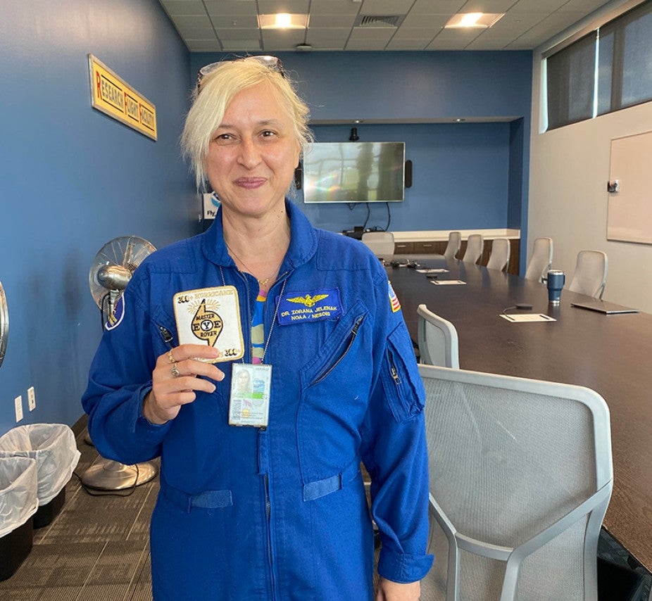
With more than 300 hurricane penetrations, Dr. Zorana Jelenak has more flights into hurricanes than any other woman at NOAA.
Not only does her flying give Zorana a bird’s eye view of hurricanes, but of the interface between operational tasks and those of modelers who use the data to create increasingly accurate forecasts. “What’s very interesting to me is that I work in this gray zone between research and operations, and you have to understand them both… and it's really a privilege to be in this situation.” “When you are a researcher and you are looking at what is the error of your measurement or your product, you use millions of data points and you come up with statistics and you say okay this is my error - 1 meter per second or something. And then you have the operational user who comes to you and asks you - can I use this one wind vector to change my forecast? What is the error of that one wind vector? That has nothing to do with the millions of [data] points…so understanding how you create that bridge between the two is something we put a lot of effort into.”
So how often does one execute these death defying missions for the sake of better science? Well while finishing her work on Hurricane Fiona to make improved wind speed measurements from space, Zorana surpassed 300 flights! This makes her the ranking female in NOAA for the most hurricane penetrations. All the other high ranking hurricane flyers are men.
We are incredibly proud of you and your work Zorana. Your efforts and that of your team are greatly appreciated! Find out more about the hurricane forecast process here. To see forecasts from the National Hurricane Center please go here.