Perfecting Hurricane Communications
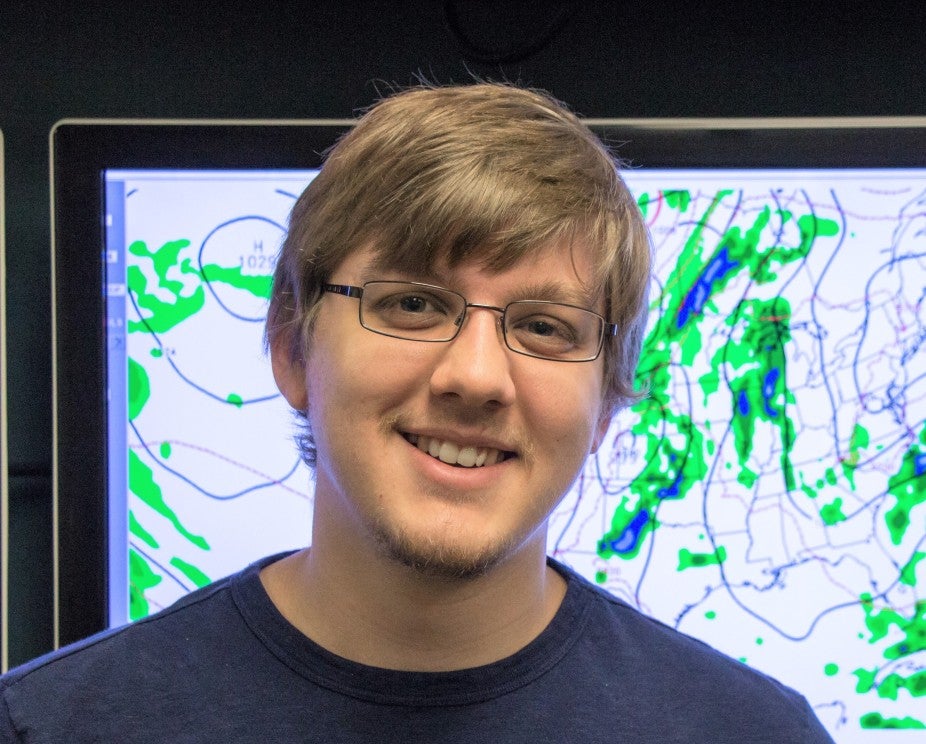
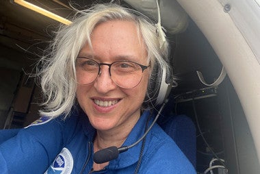
Dr. Benjamin Trabing, CPAESS Associate Scientist
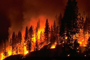
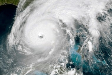
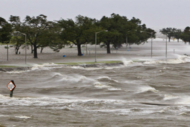
Dr. Benjamin Trabing is a CPAESS Associate Scientist working at the National Hurricane Center’s Storm Surge Unit. The focus on the Storm Surge Unit is to accurately forecast how much storm surge will occur and where and when a hurricane makes landfall. This is very important as storm surge, which is the ”abnormal rise of water generated by a storm, over and above the predicted astronomical tides” (NHC). “Storm surge is often the greatest threat to life and property from a hurricane” (NHC), and can carry large volumes of water several miles inland. “The greatest threat to life actually comes from the water – in the form of storm surge” (NOAA). “Flooding from hurricanes and tropical cyclones accounts for nearly 90% of hurricane deaths — and about half of those are caused by the storm surge” (Sofar). So it is critical for the public to know where, when, and how much water will be coming into their neighborhoods due to the hurricanes that come to land.
"I’ve always been fascinated by the weather. When I was a kid, I was always the one at the window looking outside, seeing the storms come in."
The main forecasting model utilized to do this is the Probabalist Tropical Storm Surge (P-Surge) which creates a probabilistic storm surge forecast. Benjamin’s current job is to continue to expand upon it’s capabilities by developing forecasting capacity for Hawaii, the Samoan Islands, and Guam.
Ben Trabing has been working with CPAESS at the National Hurricane Center since November of 2022. However, recently some of Ben’s past work has been recently published in Weather and Forecasting called the “The Development and Evaluation of a Tropical Cyclone Probabilistic Landfall Forecast Product.” Among other things it looks at the uncertainty concerning how strong the intensity of a storm might be, such as the probability of whether a hurricane will be considered a category 2 hurricane or a category 3, etc. Some of the challenges inherent in this type of forecasting is communicating “not only where the storm is going to go…how strong it’s going to be, and also how big it’s going to be” explained Trabing. So he and his colleagues sought to create a new tool designed to help someone answer the question “If this hurricane makes landfall where I am, how strong is it going to be?”
To visualize this information properly so that the public and emergency management could use it, this work was tested socially they found how to both simplify the visuals for optimum understanding, while still enabling access to statistical data if needed. This research has given birth to numerous products in development now to aid in the clarity of communication of this critical data. Essentially the National Hurricane Center is leaning into their probabilistic models (rather than deterministic) when it comes to the cone of uncertainty, or the area where a hurricane will most likely travel. This area is then fleshed out with data from products like the Windspeed Probablity Model to help show where the hightest winds will be. So for example in a storm you can show an area where there is a 50% chance that winds will be 30 knots or higher, or a 70% chance of 40 knots or higher in another area.
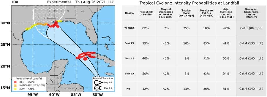
Figure 9 from Ben’s paper showing the cone of uncertainty for Hurricane Ida.
Currently, there are numerous products like this under development and ultimately they will give the consumer a clearer visual and data rich view of various aspects of the storm and the likelihood of different critical components of the storm. Ultimately these products will all be on the National Hurricane Center’s website.
When asked how his career path led him here, Ben shared “I’ve always been fascinated by the weather. When I was a kid, I was always the one at the window looking outside, seeing the storms come in.” In 2003, Hurricane Isabel affected his hometown in Maryland. Seeing all the flooding and the effects of the hurricane really stuck with him. As a teenager, he moved to Florida and witnessed the annual speculation of the effects that hurricanes would have on them likewise affected him. The concern that people had for this extreme weather, and the damage that hurricanes cause inspired him to seek a job where he could help the public contend with these forces of nature. This journey began when he went to the University of Oklahoma and chased tornadoes, and has brought him to where he is today at the National Hurricane Center as a CPAESS scientist.
Thank you for sharing your recent publication with us. Please know that we truly appreciate your work, past and present, and that of your colleagues throughout the National Hurricane Center. Your collective life-saving work is truly admirable and deeply appreciated.