UCAR | CPAESS Hurricane Scientist Promotes Framework to Ensure Data Integrity in Hurricane Forecasting and Beyond
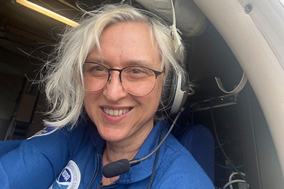
Dr. Zorana Jelenak has flown through the hurricane eyewall more than 400 times on NOAA’s P‑3 research aircraft. On these flights, specialized instruments collect critical information that help scientists predict where a storm will go and how strong it will become. One especially important type of measurement is the wind speed and direction right at the ocean’s surface, which helps determine how intense the storm is. This information is vital for emergency managers making evacuation decisions and for the general public preparing for a storm. Hurricane forecasters depend on accurate wind data to create reliable forecasts that help protect lives and property.
Jelenak is a UCAR | CPAESS scientist with NOAA’s National Environmental Satellite, Data, and Information Service (NESDIS), Satellite Applications and Research (STAR), Ocean Winds Team where she is the team’s science lead.
Credit: Zorana Jelenak
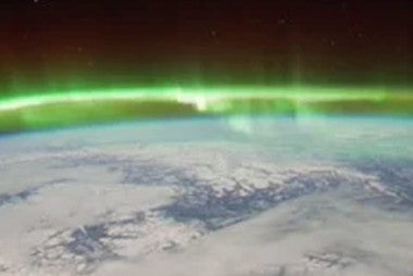
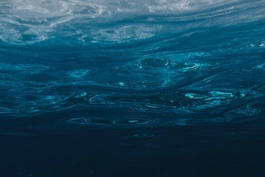
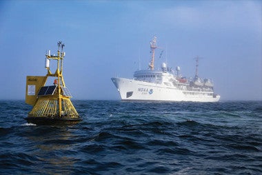
The ocean covers more than 70% of the Earth’s surface, and the exchange of heat and moisture between the ocean and the atmosphere helps power storms, including hurricanes. To better understand the winds over the ocean, scientists use instruments such as scatterometers and radiometers. These instruments fly not only on NOAA’s P‑3 research aircraft but also on satellites. On the P‑3, the Ocean Winds Team uses them to underfly satellites, taking measurements in the same area at nearly the same time, to calibrate and validate the satellite-derived ocean wind data. Scatterometers measure microwave energy that is sent out by the instrument and then scattered back from the ocean surface, while radiometers measure the natural microwave energy emitted by the ocean itself. By analyzing these microwave signals, scientists can infer the ocean’s wind field.
“From each scatterometer measurement, we get something called a ‘normalized radar cross section’—basically, a number that describes how bright the ocean looks to the radar,” explained Jelenak.
The instrument sends out a short pulse of microwave energy toward the ocean and then measures the small fraction that scatters back toward it. The normalized radar cross section is the ratio between the power of the outgoing pulse and the power of the energy that returns. Rougher seas created by stronger winds make the ocean appear ‘brighter’ to the radar than calmer seas. By using the laws of how electromagnetic energy travels through the atmosphere and interacts with the ocean surface, scientists can turn these changes in brightness into estimates of the wind.
For example, Jelenak pointed to one extratropical storm observed by a scatterometer. The same set of measurements was processed using three different wind‑retrieval algorithms, producing three different wind fields: one with maximum gale‑force winds, one with storm‑force winds, and one with hurricane‑force winds. Each of those intensity estimates would lead to a very different response, from routine ship‑routing choices to the issuance of serious warnings for dangerous conditions at sea. The key question is which estimate is correct. To help answer that, the Ocean Winds Team flies the P‑3 aircraft under satellites to collect detailed in‑situ measurements that are used to check, calibrate, and improve the satellite‑based wind algorithms, ensuring more trustworthy forecasts.
Her team’s work has also uncovered problems in other critical measurements. For example, they found that some Stepped Frequency Microwave Radiometer (SFMR) wind measurements were drifting over time because of how the aging instrument was behaving. SFMR is the main wind sensor on board NOAA’s P‑3 aircraft and has been providing wind measurements for more than 20 years. Its data set has been widely used by both the operational and research communities to understand how the wind field changes in tropical cyclones and extratropical storms.
“Catching issues like this, and, even more importantly, preventing them, is essential in a world where so many important decisions depend on data,” Jelenak said.
“Today’s society demands certifications for what we build, drive, and consume, but the Earth observation data that increasingly guide our economies, climate strategies, and AI systems often lack a common assurance of quality, clear information about uncertainty, or checks on whether they are truly fit for use,” she said.
To help change that, Dr. Jelenak is calling for a clear ‘gold standard’ for Earth observation data. Under this approach, any data used in forecasts, whether it comes from government, private companies, or universities, would have to pass agreed upon quality checks before it is trusted.
Dr. Jelenak recently delivered a CPAESS Discovery Seminar on this topic, “In the Eye of the Storm: From Storm‑Force Errors to Gold Standard Science,” and invites colleagues who care about data integrity to contact her.