July CPAESS Discovery Seminar: Are Forecasts of the Tropical Cyclone Radius of Maximum Wind Skillful?
Please join CPAESS for a virtual seminar talk with Ben Trabing, PH.D., CPAESS Associate Scientist III, National Hurricane Center (NHC)
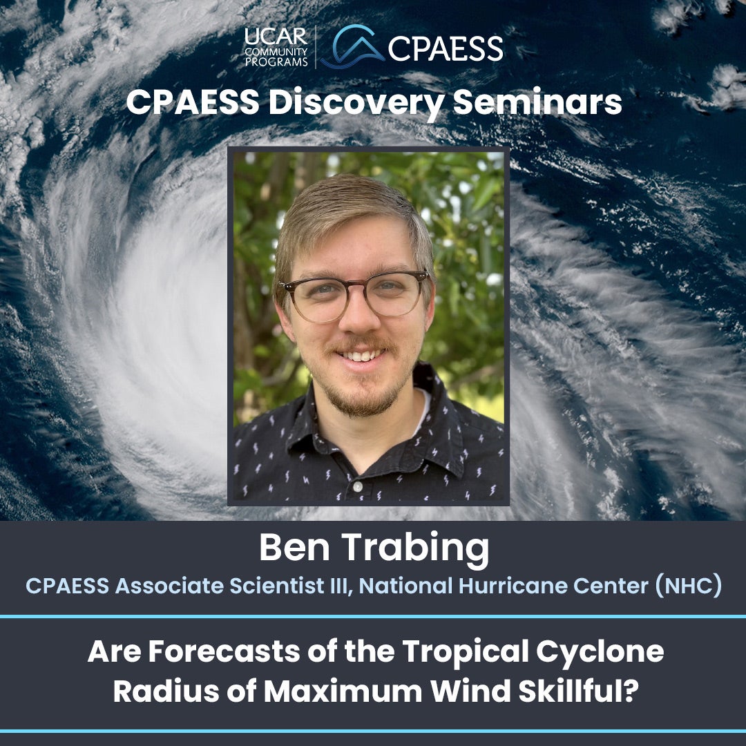
Title: Are Forecasts of the Tropical Cyclone Radius of Maximum Wind Skillful?
When: Wednesday, July 24, 2024
11:00 AM MT (Virtual)
Add this event to your google calendar
About Ben Trabing, Ph.D.
Ben Trabing, Ph.D., is an associate scientist at the Cooperative Programs for the Advancement of Earth System Science (CPAESS). He is contracted to work in the Storm Surge Unit (SSU) at NOAA’s National Hurricane Center (NHC) in Miami, Florida.
Dr. Trabing has authored and coauthored several peer-reviewed scientific journal articles. He is currently serving as an Associate Editor for the American Meteorological Society’s Monthly Weather Review and Weather and Forecasting journals. He is also on the planning committee for the Weather Analysis and Forecasting / Numerical Weather Prediction Conference. He has given dozens of presentations at scientific workshops and conferences on tropical cyclones and is an active member of the American Meteorological Society.
Description
The radius of maximum wind (RMW) is a key structural parameter of tropical cyclones that describes how far the strongest winds are from the storm's center. The RMW is closely tied to significant hazards such as wind, storm surge, and rainfall. However, little forecast guidance is provided for the RMW resulting in forecasters using climatological estimates to help communicate hazard risk. In order to better forecast the RMW, we need to understand the performance of the few guidance techniques available. We compare RMW forecasts from the Hurricane Analysis and Forecast System (HAFS) to two statistical models and a climatological estimate. Forecasts of the RMW from HAFS are not competitive with statistical derivations of the RMW with marginally better to comparable skill for stronger tropical cyclones. The results indicate that there is a strong need for future improvements to better predict tropical cyclone structure in addition to track and intensity.
In this presentation, we will discuss the current state of the art for RMW forecasting and how it has been motivated by storm surge modeling at the National Hurricane Center.
View the flyer
Watch the live broadcast.
All participants will access the seminar via the webcast link and utilize Slido during the seminar for questions.
The talk will be recorded and published on the CPAESS YouTube Channel.
Questions? Contact Dawn Mullally

